The Killough Road, Downpatrick
Introduction
The photograph on this page of The Killough Road, Downpatrick by Albert Bridge as part of the Geograph project.
The Geograph project started in 2005 with the aim of publishing, organising and preserving representative images for every square kilometre of Great Britain, Ireland and the Isle of Man.

There are currently over 7.5m images from over 14,400 individuals and you can help contribute to the project by visiting https://www.geograph.org.uk
The Killough Road, Downpatrick
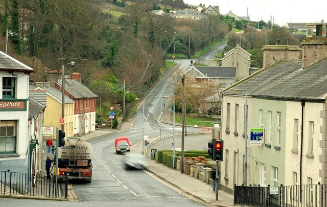
Image: © Albert Bridge Taken: 2 Jan 2009
The Killough Road, seen from Stream Street Image, as it curves sharply to the right. Racecourse Hill climbs steeply in the middle background.
Images are licensed for reuse under creativecommons.org/licenses/by-sa/2.0
Image Location
Latitude
54.322204
Longitude
-5.711808