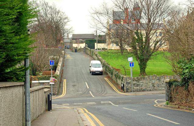
Folly Lane, Downpatrick
Introduction
The photograph on this page of Folly Lane, Downpatrick by Albert Bridge as part of the Geograph project.
The Geograph project started in 2005 with the aim of publishing, organising and preserving representative images for every square kilometre of Great Britain, Ireland and the Isle of Man.
There are currently over 7.5m images from over 14,400 individuals and you can help contribute to the project by visiting https://www.geograph.org.uk

Image: © Albert Bridge Taken: 2 Jan 2009
A narrow street running from St Patrick’s Drive, across St Patrick’s Avenue Image (middle) to Irish Street and Stream Street (background). It was officially “stopped up” last year. “Folly” seems to be a common street name in towns of medieval origin. I would welcome any thoughts on the origin or meaning of the name.

