Kissing gate, sign and plank bridge, near Napton
Introduction
The photograph on this page of Kissing gate, sign and plank bridge, near Napton by Andy F as part of the Geograph project.
The Geograph project started in 2005 with the aim of publishing, organising and preserving representative images for every square kilometre of Great Britain, Ireland and the Isle of Man.

There are currently over 7.5m images from over 14,400 individuals and you can help contribute to the project by visiting https://www.geograph.org.uk
Kissing gate, sign and plank bridge, near Napton
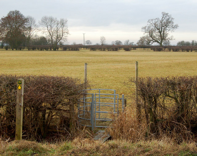
Image: © Andy F Taken: 2 Jan 2009
The northeast end of a short public footpath which runs between two lanes half-a-mile northwest of Napton Crossroads, Warwickshire. Thorn Furlong Farm is at the other end of this path.
Images are licensed for reuse under creativecommons.org/licenses/by-sa/2.0
Image Location


Leaflet Map data © OpenStreetMap
Latitude
52.262982
Longitude
-1.328152