Farmland at Barnacre
Introduction
The photograph on this page of Farmland at Barnacre by David Medcalf as part of the Geograph project.
The Geograph project started in 2005 with the aim of publishing, organising and preserving representative images for every square kilometre of Great Britain, Ireland and the Isle of Man.

There are currently over 7.5m images from over 14,400 individuals and you can help contribute to the project by visiting https://www.geograph.org.uk
Farmland at Barnacre
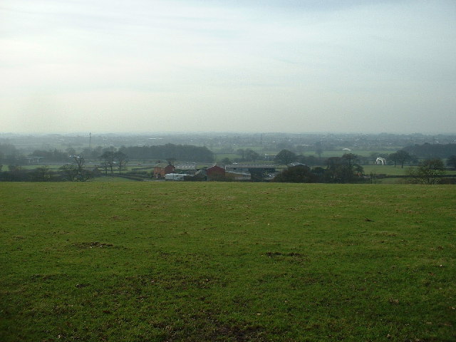
Image: © David Medcalf Taken: 22 Jan 2006
Looking down to Slack Farm. The land hereabouts starts to rise towards the Bowland Fells so the view westwards is across the Fylde plain.
Images are licensed for reuse under creativecommons.org/licenses/by-sa/2.0
Image Location


Leaflet Map data © OpenStreetMap
Latitude
53.909624
Longitude
-2.747382