The Last Harvest
Introduction
The photograph on this page of The Last Harvest by David Pitt as part of the Geograph project.
The Geograph project started in 2005 with the aim of publishing, organising and preserving representative images for every square kilometre of Great Britain, Ireland and the Isle of Man.

There are currently over 7.5m images from over 14,400 individuals and you can help contribute to the project by visiting https://www.geograph.org.uk
The Last Harvest
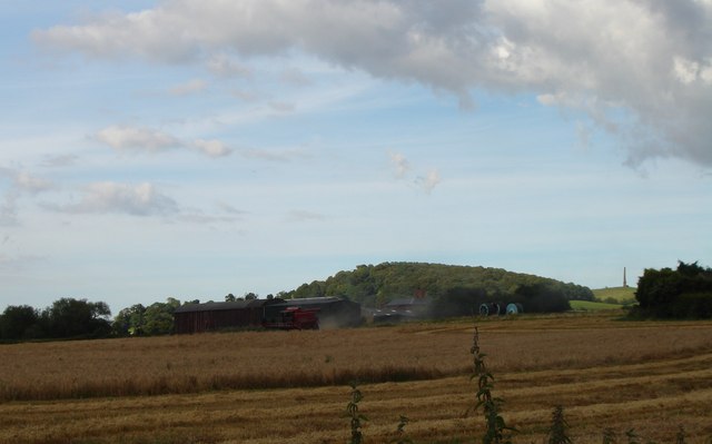
Image: © David Pitt Taken: 10 Aug 2007
This was the last harvest in this field on Trehernes Farm, Worcester Lane, Pedmore, Stourbridge. The field is to be changed into playing fields for Old Swinford School. The local Hagley Parish Council objected to the planning application as an unacceptable development on the Green Belt.
Images are licensed for reuse under creativecommons.org/licenses/by-sa/2.0
Image Location
Latitude
52.426632
Longitude
-2.139225