The Marlbrook Public House, Birmingham Road, Bromsgrove
Introduction
The photograph on this page of The Marlbrook Public House, Birmingham Road, Bromsgrove by Roy Hughes as part of the Geograph project.
The Geograph project started in 2005 with the aim of publishing, organising and preserving representative images for every square kilometre of Great Britain, Ireland and the Isle of Man.

There are currently over 7.5m images from over 14,400 individuals and you can help contribute to the project by visiting https://www.geograph.org.uk
The Marlbrook Public House, Birmingham Road, Bromsgrove
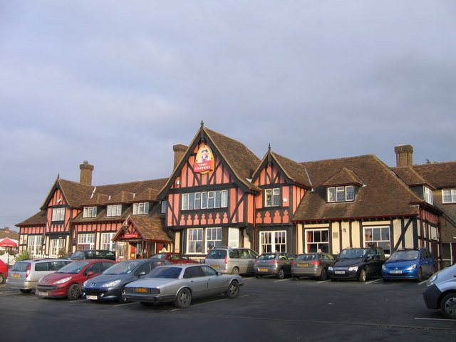
Image: © Roy Hughes Taken: 2 Jan 2009
Standing on the Birmingham Road (A38) and Braces Lane junction. This impressive public house is a Toby Carvery with an "Innkeepers Lodge" attached.
Images are licensed for reuse under creativecommons.org/licenses/by-sa/2.0
Image Location
Latitude
52.365213
Longitude
-2.045923