Cattle and Blaengyfre
Introduction
The photograph on this page of Cattle and Blaengyfre by Marion Phillips as part of the Geograph project.
The Geograph project started in 2005 with the aim of publishing, organising and preserving representative images for every square kilometre of Great Britain, Ireland and the Isle of Man.

There are currently over 7.5m images from over 14,400 individuals and you can help contribute to the project by visiting https://www.geograph.org.uk
Cattle and Blaengyfre
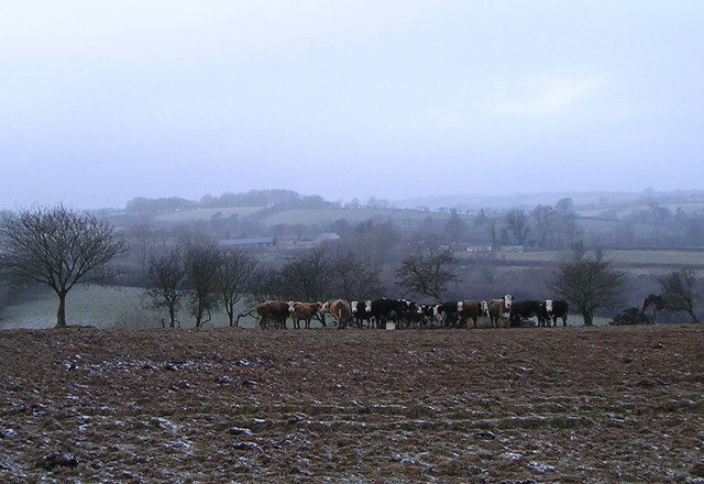
Image: © Marion Phillips Taken: 1 Jan 2009
This photograph was taken on a day when the temperature remained below freezing point all day. The cattle are clustered around some feeders with bales of silage. In warmer weather they would be squelching through the mud, but today the ground is rock hard. Beyond the cattle you can see the farm, Blaengyfre.
Images are licensed for reuse under creativecommons.org/licenses/by-sa/2.0
Image Location


Leaflet Map data © OpenStreetMap
Latitude
51.979938
Longitude
-4.279694