Wintry view of Bowldown Road
Introduction
The photograph on this page of Wintry view of Bowldown Road by Pauline E as part of the Geograph project.
The Geograph project started in 2005 with the aim of publishing, organising and preserving representative images for every square kilometre of Great Britain, Ireland and the Isle of Man.

There are currently over 7.5m images from over 14,400 individuals and you can help contribute to the project by visiting https://www.geograph.org.uk
Wintry view of Bowldown Road
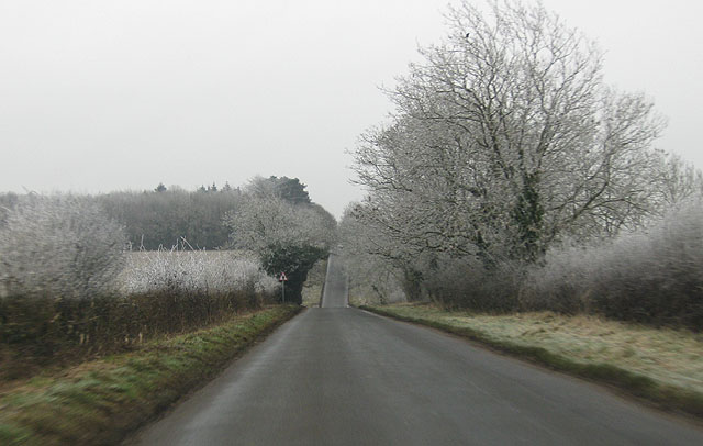
Image: © Pauline E Taken: 1 Jan 2009
The dip in the road hides a minor crossroads on this country road linking the A46 and the A433. This view is towards Westonbirt with the woodland of Charltondown Covert on the horizon to the left.
Images are licensed for reuse under creativecommons.org/licenses/by-sa/2.0
Image Location
Latitude
51.624633
Longitude
-2.219381