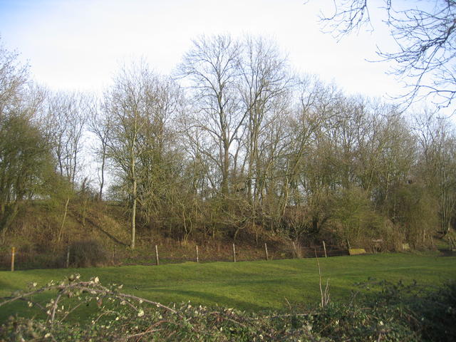
Edge Hill Light Railway embankment
Introduction
The photograph on this page of Edge Hill Light Railway embankment by David Stowell as part of the Geograph project.
The Geograph project started in 2005 with the aim of publishing, organising and preserving representative images for every square kilometre of Great Britain, Ireland and the Isle of Man.
There are currently over 7.5m images from over 14,400 individuals and you can help contribute to the project by visiting https://www.geograph.org.uk

Image: © David Stowell Taken: 22 Jan 2006
This embankment is close to the point at which the line crossed the road to Radway and is still shown on modern OS maps. This three mile long standard gauge line was built for the Oxfordshire Ironstone Company in 1920 and ran from a junction with the Stratford-on-Avon & Midland Junction Railway at Burton Dassett to ironstone mines at Edge Hill around Image It was only operated for five years before the iron ores ran out and the line was closed. The railway and its rolling stock lay derelict for another 22 years before it was dismantled. The 1940s map still shows the line as being in existence. See also http://www.hfstephens-museum.org.uk/pages/his_railways/edgehill.htm

