Housing diversity (St John's Road)
Introduction
The photograph on this page of Housing diversity (St John's Road) by Ian Capper as part of the Geograph project.
The Geograph project started in 2005 with the aim of publishing, organising and preserving representative images for every square kilometre of Great Britain, Ireland and the Isle of Man.

There are currently over 7.5m images from over 14,400 individuals and you can help contribute to the project by visiting https://www.geograph.org.uk
Housing diversity (St John's Road)
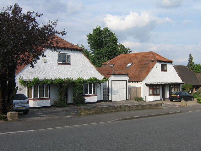
Image: © Ian Capper Taken: 5 Jun 2008
A series of photos showing the diversity of housing in one gridsquare in outer suburbia. For others in series see http://www.geograph.org.uk/search.php?i=1905481. Any further information, such as building dates and what was on the sites before building, would be appreciated. This is St John's Road, one of the few roads in Petts Wood that had seen any development before the late 1920s. However, the subsequent filling in of gaps over the years (as well as demolition of older stock) has left the road with a large variety of housing types, such as these chalet type houses.
Images are licensed for reuse under creativecommons.org/licenses/by-sa/2.0
Image Location
Latitude
51.382974
Longitude
0.08739