Track down Micklebarrow Hill
Introduction
The photograph on this page of Track down Micklebarrow Hill by Tim Heaton as part of the Geograph project.
The Geograph project started in 2005 with the aim of publishing, organising and preserving representative images for every square kilometre of Great Britain, Ireland and the Isle of Man.

There are currently over 7.5m images from over 14,400 individuals and you can help contribute to the project by visiting https://www.geograph.org.uk
Track down Micklebarrow Hill
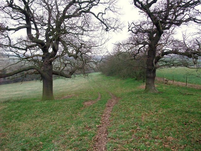
Image: © Tim Heaton Taken: 30 Dec 2008
The pastured north side of the hill is more attractive than the cultivated southern approach. Following this track has led me off the Trent Valley Way, which runs slightly to the left of the picture.
Images are licensed for reuse under creativecommons.org/licenses/by-sa/2.0
Image Location
Latitude
53.092224
Longitude
-0.887191