The Square, Woodside.
Introduction
The photograph on this page of The Square, Woodside. by Brian Clift as part of the Geograph project.
The Geograph project started in 2005 with the aim of publishing, organising and preserving representative images for every square kilometre of Great Britain, Ireland and the Isle of Man.

There are currently over 7.5m images from over 14,400 individuals and you can help contribute to the project by visiting https://www.geograph.org.uk
The Square, Woodside.
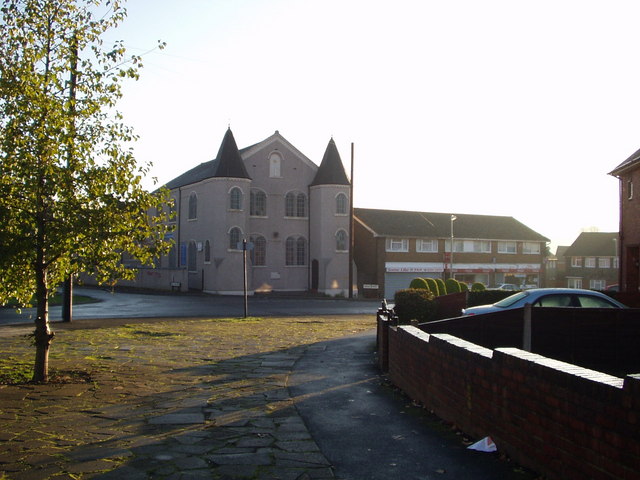
Image: © Brian Clift Taken: 19 Nov 2006
This area was always known locally as "The Square", it is located at the junction of Holly Hall Road, Wood Street, Crossgate Road, and Holly Hall Road. The prominent building is the local chapel.
Images are licensed for reuse under creativecommons.org/licenses/by-sa/2.0
Image Location
Latitude
52.496879
Longitude
-2.105274