Frontages on Warrington Road
Introduction
The photograph on this page of Frontages on Warrington Road by David Long as part of the Geograph project.
The Geograph project started in 2005 with the aim of publishing, organising and preserving representative images for every square kilometre of Great Britain, Ireland and the Isle of Man.

There are currently over 7.5m images from over 14,400 individuals and you can help contribute to the project by visiting https://www.geograph.org.uk
Frontages on Warrington Road
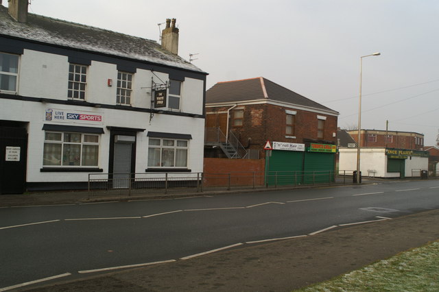
Image: © David Long Taken: 1 Jan 2009
The two shops in the middle have had an interesting year. The left-hand one was renovated first. The snack-shop which was in the right-hand one moved into the renovated premises, and became a small cafe. The right-hand shop was then renovated. As it neared completion the snack-shop closed down, and was refurbished as a hairdresser's. The right-hand shop is now a take-away pizza shop.
Images are licensed for reuse under creativecommons.org/licenses/by-sa/2.0
Image Location
Latitude
53.536442
Longitude
-2.619632