Derrell Road
Introduction
The photograph on this page of Derrell Road by Richard Dorrell as part of the Geograph project.
The Geograph project started in 2005 with the aim of publishing, organising and preserving representative images for every square kilometre of Great Britain, Ireland and the Isle of Man.

There are currently over 7.5m images from over 14,400 individuals and you can help contribute to the project by visiting https://www.geograph.org.uk
Derrell Road
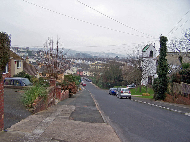
Image: © Richard Dorrell Taken: 1 Jan 2009
The 'tree' on the right is actually a telegraph pole, covered in ivy. Behind it is St Michael's Court - a church converted into sheltered housing for the elderly. Below that, the trees and shrubs are on the edge of Derrell Road allotments.
Images are licensed for reuse under creativecommons.org/licenses/by-sa/2.0
Image Location
Latitude
50.429016
Longitude
-3.574121