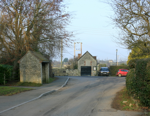
2008 : Doynton, Toghill Lane
Introduction
The photograph on this page of 2008 : Doynton, Toghill Lane by Maurice Pullin as part of the Geograph project.
The Geograph project started in 2005 with the aim of publishing, organising and preserving representative images for every square kilometre of Great Britain, Ireland and the Isle of Man.
There are currently over 7.5m images from over 14,400 individuals and you can help contribute to the project by visiting https://www.geograph.org.uk

Image: © Maurice Pullin Taken: 29 Dec 2008
At the junction of Toghill Lane and Church Road. The scene gives an idea of the quiet nature of the village. ----------------------------------- "Doynton's history can be traced back to the Domesday Book (1086) in which the village is mentioned as having two mills. One was probably a corn mill and the other a tucking or fulling mill connected with the Cotswold woollen cloth industry. Both these mills were important to the survival of the village and were referred to again in historical records 500 years later. The tuck mill, however, is not mentioned after the middle of the 17th century. The corn mill continued in use until the 1950s marking nine centuries of service to the village. The mill wheel and old machinery were then broken up and electrically-powered equipment installed. More recently a light engineering firm has taken over the site." The above was copied from: http://en.wikipedia.org/wiki/Doynton

