Charter Street, Harts Hill.
Introduction
The photograph on this page of Charter Street, Harts Hill. by Brian Clift as part of the Geograph project.
The Geograph project started in 2005 with the aim of publishing, organising and preserving representative images for every square kilometre of Great Britain, Ireland and the Isle of Man.

There are currently over 7.5m images from over 14,400 individuals and you can help contribute to the project by visiting https://www.geograph.org.uk
Charter Street, Harts Hill.
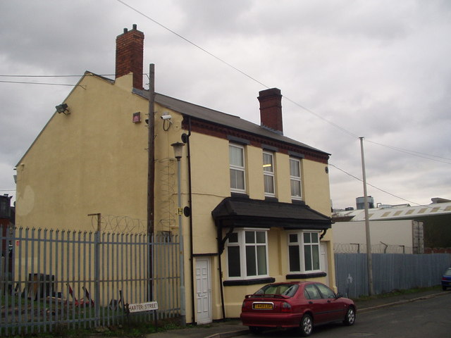
Image: © Brian Clift Taken: 15 Jan 2007
I think this building was previously a public house it is possible the name was The Cock and Trumpet.
Images are licensed for reuse under creativecommons.org/licenses/by-sa/2.0
Image Location
Latitude
52.493456
Longitude
-2.112483