The Round Oak.
Introduction
The photograph on this page of The Round Oak. by Brian Clift as part of the Geograph project.
The Geograph project started in 2005 with the aim of publishing, organising and preserving representative images for every square kilometre of Great Britain, Ireland and the Isle of Man.

There are currently over 7.5m images from over 14,400 individuals and you can help contribute to the project by visiting https://www.geograph.org.uk
The Round Oak.
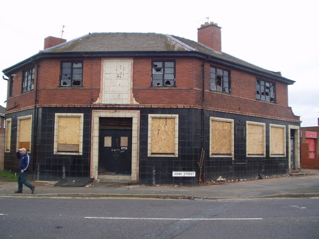
Image: © Brian Clift Taken: 15 Jan 2007
Disused pub on the corner of John Street and Dudley Road, Round Oak, Brierley Hill.
Images are licensed for reuse under creativecommons.org/licenses/by-sa/2.0
Image Location
Latitude
52.487695
Longitude
-2.12042