Severn Way
Introduction
The photograph on this page of Severn Way by P L Chadwick as part of the Geograph project.
The Geograph project started in 2005 with the aim of publishing, organising and preserving representative images for every square kilometre of Great Britain, Ireland and the Isle of Man.

There are currently over 7.5m images from over 14,400 individuals and you can help contribute to the project by visiting https://www.geograph.org.uk
Severn Way
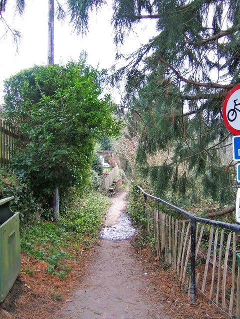
Image: © P L Chadwick Taken: 30 Dec 2008
This long distance footpath runs along one side of the River Severn at Upper Arley. On the opposite bank the footpath is part of the North Worcestershire Path.
Images are licensed for reuse under creativecommons.org/licenses/by-sa/2.0
Image Location
Latitude
52.41857
Longitude
-2.344757