Frozen Hedgerow
Introduction
The photograph on this page of Frozen Hedgerow by Paul Anderson as part of the Geograph project.
The Geograph project started in 2005 with the aim of publishing, organising and preserving representative images for every square kilometre of Great Britain, Ireland and the Isle of Man.

There are currently over 7.5m images from over 14,400 individuals and you can help contribute to the project by visiting https://www.geograph.org.uk
Frozen Hedgerow
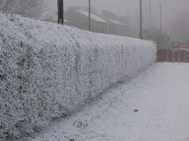
Image: © Paul Anderson Taken: 31 Dec 2008
This well kept hedgerow separates Nuttall Lane from the St Andrews School playing fields. Taken on New Year's Eve 2008; the temperature that day was -5 leaving the hedgerow shrouded in a deep covering of frost. In the distance through the freezing fog and gloom you can just make out the traffic lights on red at the junction of Bolton Road West and Nuttall Lane. Image
Images are licensed for reuse under creativecommons.org/licenses/by-sa/2.0
Image Location
Latitude
53.641435
Longitude
-2.319716