Former Wilts and Berks canal, Kingshill, Swindon
Introduction
The photograph on this page of Former Wilts and Berks canal, Kingshill, Swindon by Brian Robert Marshall as part of the Geograph project.
The Geograph project started in 2005 with the aim of publishing, organising and preserving representative images for every square kilometre of Great Britain, Ireland and the Isle of Man.

There are currently over 7.5m images from over 14,400 individuals and you can help contribute to the project by visiting https://www.geograph.org.uk
Former Wilts and Berks canal, Kingshill, Swindon
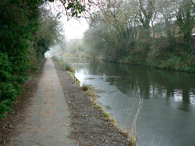
Image: © Brian Robert Marshall Taken: 31 Dec 2008
This view is facing towards the town centre through which the canal once ran. This stretch terminates at the eastern edge of the square and The next section which might have any water in it is some miles east of Swindon. This part of the canal has been restored to provide a wildlife habitat and leisure resource.
Images are licensed for reuse under creativecommons.org/licenses/by-sa/2.0
Image Location
Latitude
51.553547
Longitude
-1.800481