Track to Landport
Introduction
The photograph on this page of Track to Landport by Simon Carey as part of the Geograph project.
The Geograph project started in 2005 with the aim of publishing, organising and preserving representative images for every square kilometre of Great Britain, Ireland and the Isle of Man.

There are currently over 7.5m images from over 14,400 individuals and you can help contribute to the project by visiting https://www.geograph.org.uk
Track to Landport
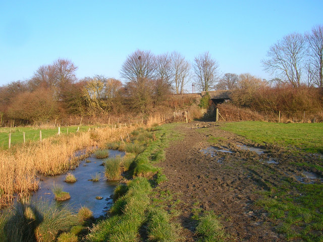
Image: © Simon Carey Taken: 29 Dec 2008
Connecting the Landport estate on the northern edge of Lewes with the River Ouse. The track appears not be marked as a public footpath though seems to be regularly used by locals. The bridge carries the Lewes-Wivelsfield line over the track.
Images are licensed for reuse under creativecommons.org/licenses/by-sa/2.0
Image Location
Latitude
50.885909
Longitude
-0.003807