Southam to Tomlow bridleway (1 of 19)
Introduction
The photograph on this page of Southam to Tomlow bridleway (1 of 19) by Andy F as part of the Geograph project.
The Geograph project started in 2005 with the aim of publishing, organising and preserving representative images for every square kilometre of Great Britain, Ireland and the Isle of Man.

There are currently over 7.5m images from over 14,400 individuals and you can help contribute to the project by visiting https://www.geograph.org.uk
Southam to Tomlow bridleway (1 of 19)
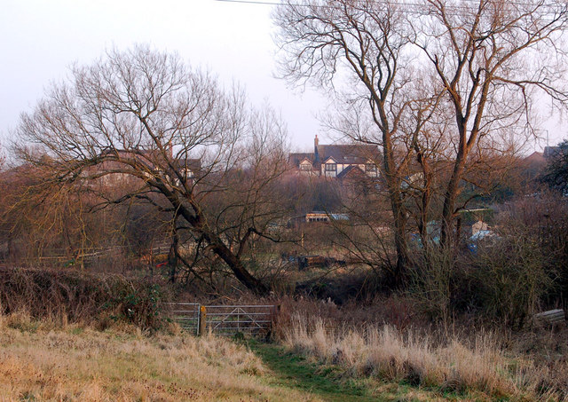
Image: © Andy F Taken: 30 Dec 2008
The public bridleway and footpath from Southam to Tomlow starts just northeast of the roundabout at the intersection of the A425 and A423 roads. For the first half-mile, the path closely follows the valley of the River Stowe. This photo is looking east along the footpath with houses along the A425 in the background, their gardens running down to the river. Next photo in series: http://www.geograph.org.uk/photo/1098882
Images are licensed for reuse under creativecommons.org/licenses/by-sa/2.0
Image Location
Latitude
52.253818
Longitude
-1.378538