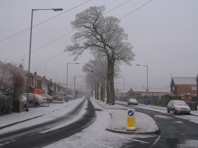
Nuttall Lane Ramsbottom
Introduction
The photograph on this page of Nuttall Lane Ramsbottom by Paul Anderson as part of the Geograph project.
The Geograph project started in 2005 with the aim of publishing, organising and preserving representative images for every square kilometre of Great Britain, Ireland and the Isle of Man.
There are currently over 7.5m images from over 14,400 individuals and you can help contribute to the project by visiting https://www.geograph.org.uk

Image: © Paul Anderson Taken: 31 Dec 2008
Taken on New Years Eve 2008 when temperatures dipped to minus 5 this is Nuttall Lane which looks like the main dual carriageway route out of Ramsbottom. In fact it is nothing more than part of the circular loop road that only serves the Whittingham Drive Housing Estate. With a 30mph speed limit someone should tell the local boy racers as they use this section of road as a race track in the evenings and weekends. During 2008 this section of Nuttall Lane was the scene of three serious accidents which all occurred late at night.

