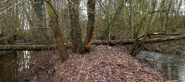
St Martin's Burn, Waulkmill
Introduction
The photograph on this page of St Martin's Burn, Waulkmill by Keith Proven as part of the Geograph project.
The Geograph project started in 2005 with the aim of publishing, organising and preserving representative images for every square kilometre of Great Britain, Ireland and the Isle of Man.
There are currently over 7.5m images from over 14,400 individuals and you can help contribute to the project by visiting https://www.geograph.org.uk

Image: © Keith Proven Taken: 21 Jan 2006
Just before it flows into the Tay, St Martin's Burn (right) is joined by the Lade (left). This Lade was constructed at the end of the 18 century to supply the linen bleaching mill at Stormontfield (1787 - 1971). Between here and Waulkmill it also powered two corn mills. Before they join, they run beside each other, separated by a narrowing spit of ground.

