Cottage, Broomhill Road
Introduction
The photograph on this page of Cottage, Broomhill Road by Ian Capper as part of the Geograph project.
The Geograph project started in 2005 with the aim of publishing, organising and preserving representative images for every square kilometre of Great Britain, Ireland and the Isle of Man.

There are currently over 7.5m images from over 14,400 individuals and you can help contribute to the project by visiting https://www.geograph.org.uk
Cottage, Broomhill Road
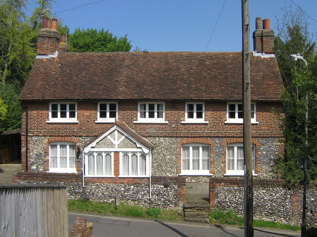
Image: © Ian Capper Taken: 6 May 2008
No 46 is in contrast to the rest of Broomhill Road - the 1868 Godfrey Edition map of Orpington shows a few buildings on Broomhill, of which this would seem to be one. It is locally listed.
Images are licensed for reuse under creativecommons.org/licenses/by-sa/2.0
Image Location
Latitude
51.379875
Longitude
0.098774