Footpath to The Chenies
Introduction
The photograph on this page of Footpath to The Chenies by Ian Capper as part of the Geograph project.
The Geograph project started in 2005 with the aim of publishing, organising and preserving representative images for every square kilometre of Great Britain, Ireland and the Isle of Man.

There are currently over 7.5m images from over 14,400 individuals and you can help contribute to the project by visiting https://www.geograph.org.uk
Footpath to The Chenies
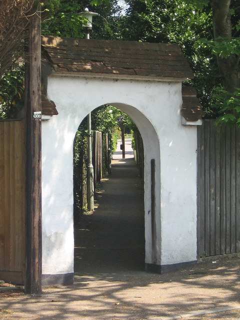
Image: © Ian Capper Taken: 6 May 2008
This is the entrance to the footpath running from Willett Way to the Chenies, complete with arch designed to fit in with the surrounding houses (see Image and Image for example).
Images are licensed for reuse under creativecommons.org/licenses/by-sa/2.0
Image Location
Latitude
51.387687
Longitude
0.083839