Bourne Park Enterprise Park
Introduction
The photograph on this page of Bourne Park Enterprise Park by Nigel Mykura as part of the Geograph project.
The Geograph project started in 2005 with the aim of publishing, organising and preserving representative images for every square kilometre of Great Britain, Ireland and the Isle of Man.

There are currently over 7.5m images from over 14,400 individuals and you can help contribute to the project by visiting https://www.geograph.org.uk
Bourne Park Enterprise Park
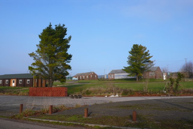
Image: © Nigel Mykura Taken: 30 Dec 2008
This business park is on the site of the old Greenfields Army base. The base was used as temporary accommodation by Dorset Council in 1976 before being turned into a business park recently. Many of the old buildings have been reused.
Images are licensed for reuse under creativecommons.org/licenses/by-sa/2.0
Image Location


Leaflet Map data © OpenStreetMap
Latitude
50.766075
Longitude
-2.392865