Lane descending towards the A595
Introduction
The photograph on this page of Lane descending towards the A595 by Andrew Hill as part of the Geograph project.
The Geograph project started in 2005 with the aim of publishing, organising and preserving representative images for every square kilometre of Great Britain, Ireland and the Isle of Man.

There are currently over 7.5m images from over 14,400 individuals and you can help contribute to the project by visiting https://www.geograph.org.uk
Lane descending towards the A595
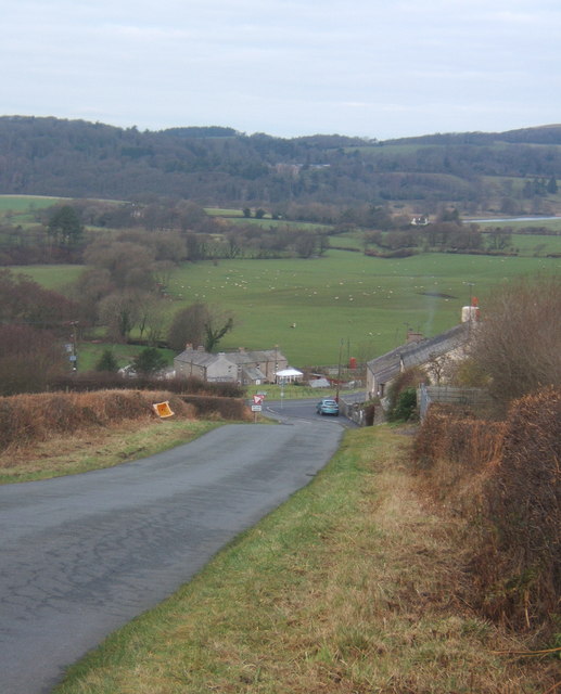
Image: © Andrew Hill Taken: 25 Dec 2008
The lane descends past a cluster of houses at Millgate. The Esk flows across the picture at the foot of the distant woodland, with Muncaster Castle amongst the trees.
Images are licensed for reuse under creativecommons.org/licenses/by-sa/2.0
Image Location
Latitude
54.337627
Longitude
-3.362974