Chipstead Road
Introduction
The photograph on this page of Chipstead Road by Hugh Craddock as part of the Geograph project.
The Geograph project started in 2005 with the aim of publishing, organising and preserving representative images for every square kilometre of Great Britain, Ireland and the Isle of Man.

There are currently over 7.5m images from over 14,400 individuals and you can help contribute to the project by visiting https://www.geograph.org.uk
Chipstead Road
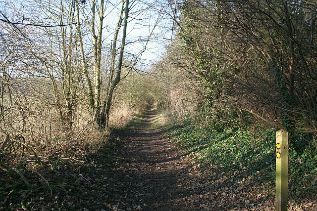
Image: © Hugh Craddock Taken: 28 Dec 2008
This green lane, now a public footpath (Banstead 622), is marked on the map as Chipstead Road, connecting the Brighton Road (A217) with Holly Lane. However, the footpath behind the photographer soon veers off to the north-east, and the last 150 metres to Holly Lane is either overgrown or has been cultivated. Taken from the junction with footpaths 43 and 44.
Images are licensed for reuse under creativecommons.org/licenses/by-sa/2.0
Image Location
Latitude
51.313476
Longitude
-0.199685