Footpath above Holly Lane
Introduction
The photograph on this page of Footpath above Holly Lane by Hugh Craddock as part of the Geograph project.
The Geograph project started in 2005 with the aim of publishing, organising and preserving representative images for every square kilometre of Great Britain, Ireland and the Isle of Man.

There are currently over 7.5m images from over 14,400 individuals and you can help contribute to the project by visiting https://www.geograph.org.uk
Footpath above Holly Lane
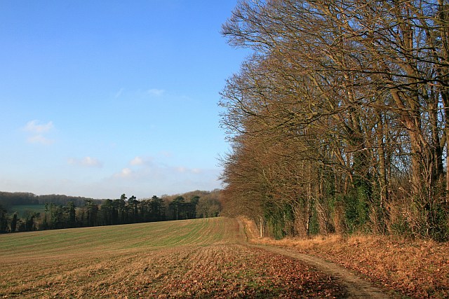
Image: © Hugh Craddock Taken: 28 Dec 2008
The public footpath (Banstead 43a) runs along the headland at the top of the field, connecting Park Downs with Holly Lane.
Images are licensed for reuse under creativecommons.org/licenses/by-sa/2.0
Image Location


Leaflet Map data © OpenStreetMap
Latitude
51.314819
Longitude
-0.193462