Centre for Mathematical Sciences
Introduction
The photograph on this page of Centre for Mathematical Sciences by Alan Murray-Rust as part of the Geograph project.
The Geograph project started in 2005 with the aim of publishing, organising and preserving representative images for every square kilometre of Great Britain, Ireland and the Isle of Man.

There are currently over 7.5m images from over 14,400 individuals and you can help contribute to the project by visiting https://www.geograph.org.uk
Centre for Mathematical Sciences
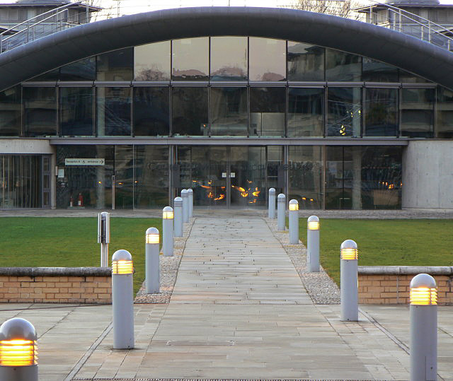
Image: © Alan Murray-Rust Taken: 26 Dec 2008
View across the courtyard to the main entrance. The building ahead is roofed with grass, and there are parts of the complex below the grass of the courtyard too.
Images are licensed for reuse under creativecommons.org/licenses/by-sa/2.0
Image Location
Latitude
52.210119
Longitude
0.102293