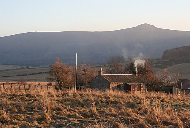
Cottage at Gushetnook
Introduction
The photograph on this page of Cottage at Gushetnook by Anne Burgess as part of the Geograph project.
The Geograph project started in 2005 with the aim of publishing, organising and preserving representative images for every square kilometre of Great Britain, Ireland and the Isle of Man.
There are currently over 7.5m images from over 14,400 individuals and you can help contribute to the project by visiting https://www.geograph.org.uk

Image: © Anne Burgess Taken: 30 Dec 2008
The slightly curious road layout round here is explained by the 1870 1:10,560 map, which shows that the road originally ran from an older railway bridge straight past this cottage, which was next to the smiddy. The cottage potentially has a fine view south to Bennachie, but the trees round about may obscure it somewhat. Note that the summit tor is in sunlight, but the forest below is in shade all day in midwinter.

