River Derwent, Camerton and disused railway.
Introduction
The photograph on this page of River Derwent, Camerton and disused railway. by Ed Messenger as part of the Geograph project.
The Geograph project started in 2005 with the aim of publishing, organising and preserving representative images for every square kilometre of Great Britain, Ireland and the Isle of Man.

There are currently over 7.5m images from over 14,400 individuals and you can help contribute to the project by visiting https://www.geograph.org.uk
River Derwent, Camerton and disused railway.
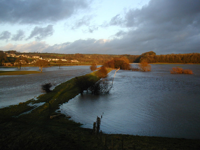
Image: © Ed Messenger Taken: 8 Jan 2005
Taken late afternoon on January 8th 2005 following "The Great Storm" of 7th / 8th January.
Images are licensed for reuse under creativecommons.org/licenses/by-sa/2.0
Image Location
Latitude
54.660813
Longitude
-3.493615