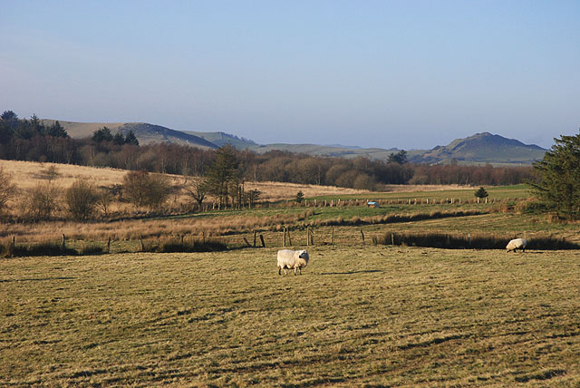
Rhos y Gell
Introduction
The photograph on this page of Rhos y Gell by Nigel Brown as part of the Geograph project.
The Geograph project started in 2005 with the aim of publishing, organising and preserving representative images for every square kilometre of Great Britain, Ireland and the Isle of Man.
There are currently over 7.5m images from over 14,400 individuals and you can help contribute to the project by visiting https://www.geograph.org.uk

Image: © Nigel Brown Taken: 30 Dec 2008
Looking towards the northern end of the moor, and the watershed between the Rheidol and Ystwyth catchment areas. Rhos y Gell in English is Moor of the Cell; the origins of the name are a bit puzzling. The area in view is also known as Gors Lwyd, the Grey-brown Bog, which seen on a less sparkling day than this one is more understandable.

