Fitzjohns Road
Introduction
The photograph on this page of Fitzjohns Road by Simon Carey as part of the Geograph project.
The Geograph project started in 2005 with the aim of publishing, organising and preserving representative images for every square kilometre of Great Britain, Ireland and the Isle of Man.

There are currently over 7.5m images from over 14,400 individuals and you can help contribute to the project by visiting https://www.geograph.org.uk
Fitzjohns Road
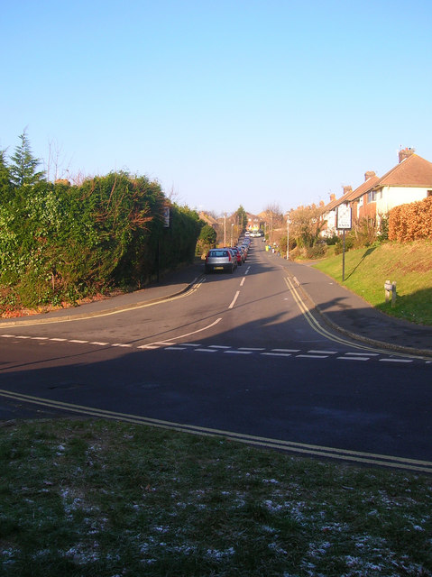
Image: © Simon Carey Taken: 29 Dec 2008
Postwar housing that forms part of Wallands Park estate. Viewed from the junction with Prince Edward's Road.
Images are licensed for reuse under creativecommons.org/licenses/by-sa/2.0
Image Location
Latitude
50.876918
Longitude
-0.003907