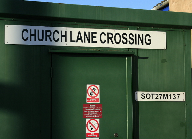
2008 : Control box at Church Lane level crossing
Introduction
The photograph on this page of 2008 : Control box at Church Lane level crossing by Maurice Pullin as part of the Geograph project.
The Geograph project started in 2005 with the aim of publishing, organising and preserving representative images for every square kilometre of Great Britain, Ireland and the Isle of Man.
There are currently over 7.5m images from over 14,400 individuals and you can help contribute to the project by visiting https://www.geograph.org.uk

Image: © Maurice Pullin Taken: 26 Dec 2008
The identification plate reads SOT27M137. The mileage on this route is measured from the junction at Cheadle Hulme (just south of Stockport) where the North Staffordshire line via Stoke on Trent diverges from the original London & North Western line via Crewe. The official distance to the crossing is documented as 27 miles 63 chains (27 miles 1386 yards). The other signs forbid the use of "portable" telephones and smoking, and offer advice to anyone wishing to enter. Update 2021: A further curiosity is that despite the name of the crossing there is no Church Lane in the village. Church Road runs parallel to the railway, just south and west of the level crossing, but the road that actually crosses the line is called Redhill Road. The parish church of St Michael, from which the crossing is presumably named, stands some way further to the west.

