Chalk Hill
Introduction
The photograph on this page of Chalk Hill by david mills as part of the Geograph project.
The Geograph project started in 2005 with the aim of publishing, organising and preserving representative images for every square kilometre of Great Britain, Ireland and the Isle of Man.

There are currently over 7.5m images from over 14,400 individuals and you can help contribute to the project by visiting https://www.geograph.org.uk
Chalk Hill
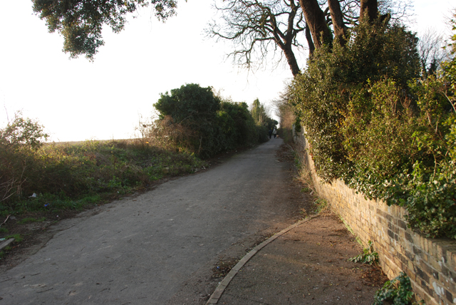
Image: © david mills Taken: 28 Dec 2008
This is the Chilton end of the road, closed to traffic and now used by walkers and cyclists.
Images are licensed for reuse under creativecommons.org/licenses/by-sa/2.0
Image Location
Latitude
51.331186
Longitude
1.390706