2008 : Control box at Aston-by-Stone level crossing
Introduction
The photograph on this page of 2008 : Control box at Aston-by-Stone level crossing by Maurice Pullin as part of the Geograph project.
The Geograph project started in 2005 with the aim of publishing, organising and preserving representative images for every square kilometre of Great Britain, Ireland and the Isle of Man.

There are currently over 7.5m images from over 14,400 individuals and you can help contribute to the project by visiting https://www.geograph.org.uk
2008 : Control box at Aston-by-Stone level crossing
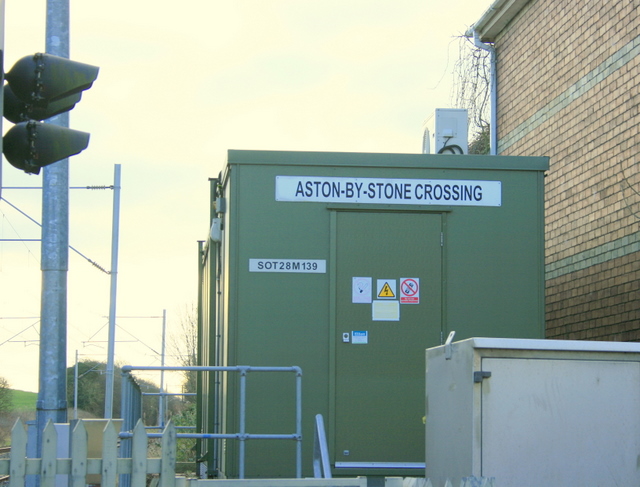
Image: © Maurice Pullin Taken: 26 Dec 2008
At Little Stoke on Uttoxeter Road. The identification plate reads "SOT28M139" which probably means it is 28 miles from Stoke on Trent.
Images are licensed for reuse under creativecommons.org/licenses/by-sa/2.0
Image Location
Latitude
52.891864
Longitude
-2.125404