Woodland, Bangor
Introduction
The photograph on this page of Woodland, Bangor by Rossographer as part of the Geograph project.
The Geograph project started in 2005 with the aim of publishing, organising and preserving representative images for every square kilometre of Great Britain, Ireland and the Isle of Man.

There are currently over 7.5m images from over 14,400 individuals and you can help contribute to the project by visiting https://www.geograph.org.uk
Woodland, Bangor
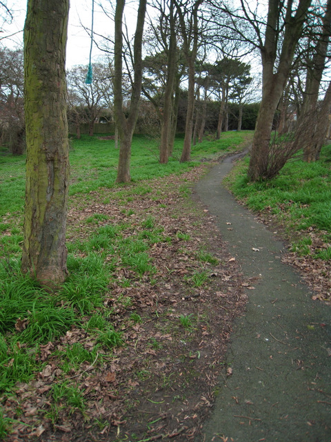
Image: © Rossographer Taken: 26 Dec 2008
Small wooded area between Plantation Road and Kenbrooke Crescent in Bangor. This area appears to have been preserved as a small woodland walk when the area was developed in the late 1960s / early 1970s. I doubt if this would happen today.
Images are licensed for reuse under creativecommons.org/licenses/by-sa/2.0
Image Location
Latitude
54.664866
Longitude
-5.625302