Macrae Drive From The Seagate
Introduction
The photograph on this page of Macrae Drive From The Seagate by Mary and Angus Hogg as part of the Geograph project.
The Geograph project started in 2005 with the aim of publishing, organising and preserving representative images for every square kilometre of Great Britain, Ireland and the Isle of Man.

There are currently over 7.5m images from over 14,400 individuals and you can help contribute to the project by visiting https://www.geograph.org.uk
Macrae Drive From The Seagate
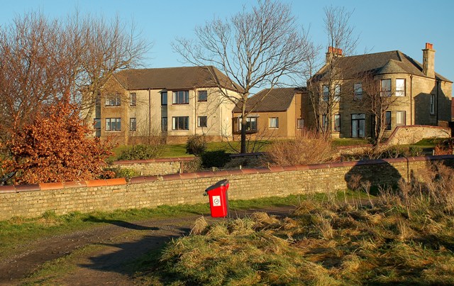
Image: © Mary and Angus Hogg Taken: 29 Dec 2008
This old road, called The Seagate, leads to a very low bridge underneath the railway line.
Images are licensed for reuse under creativecommons.org/licenses/by-sa/2.0
Image Location
Latitude
55.504812
Longitude
-4.612354