Ward Bank Road (2)
Introduction
The photograph on this page of Ward Bank Road (2) by michael ely as part of the Geograph project.
The Geograph project started in 2005 with the aim of publishing, organising and preserving representative images for every square kilometre of Great Britain, Ireland and the Isle of Man.

There are currently over 7.5m images from over 14,400 individuals and you can help contribute to the project by visiting https://www.geograph.org.uk
Ward Bank Road (2)
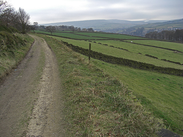
Image: © michael ely Taken: 29 Dec 2008
This is an un-made road that heads southwest up the Holme Valley towards Cartworth Moor.
Images are licensed for reuse under creativecommons.org/licenses/by-sa/2.0
Image Location
Latitude
53.564739
Longitude
-1.789645