New houses, Medburn
Introduction
The photograph on this page of New houses, Medburn by Alan Fearon as part of the Geograph project.
The Geograph project started in 2005 with the aim of publishing, organising and preserving representative images for every square kilometre of Great Britain, Ireland and the Isle of Man.

There are currently over 7.5m images from over 14,400 individuals and you can help contribute to the project by visiting https://www.geograph.org.uk
New houses, Medburn
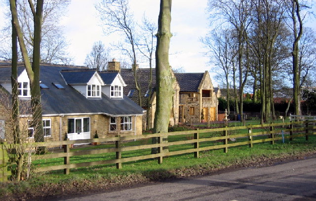
Image: © Alan Fearon Taken: 20 Jan 2006
Medburn does not appear on the 1940's OS map (the Med Burn runs nearby) so these houses are renewing a relatively recent settlement.
Images are licensed for reuse under creativecommons.org/licenses/by-sa/2.0
Image Location


Leaflet Map data © OpenStreetMap
Latitude
55.02706
Longitude
-1.79505