Fritham village
Introduction
The photograph on this page of Fritham village by Mike Faherty as part of the Geograph project.
The Geograph project started in 2005 with the aim of publishing, organising and preserving representative images for every square kilometre of Great Britain, Ireland and the Isle of Man.

There are currently over 7.5m images from over 14,400 individuals and you can help contribute to the project by visiting https://www.geograph.org.uk
Fritham village
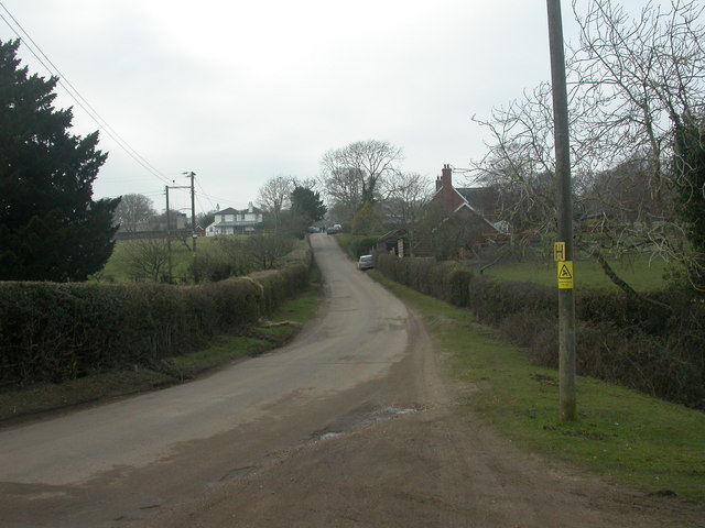
Image: © Mike Faherty Taken: 29 Dec 2008
Fritham is described as a "scattered settlement"; this often means that only a couple of houses or cottages are visible at any one time. This view is to the west, with the Royal Oak Image at the top of the hill. For a thumbnail sketch of the village, see http://www.newforestnpa.gov.uk/fritham
Images are licensed for reuse under creativecommons.org/licenses/by-sa/2.0
Image Location
Latitude
50.92581
Longitude
-1.667737