Path at the westernmost edge of The Rings
Introduction
The photograph on this page of Path at the westernmost edge of The Rings by Graham Scarborough as part of the Geograph project.
The Geograph project started in 2005 with the aim of publishing, organising and preserving representative images for every square kilometre of Great Britain, Ireland and the Isle of Man.

There are currently over 7.5m images from over 14,400 individuals and you can help contribute to the project by visiting https://www.geograph.org.uk
Path at the westernmost edge of The Rings
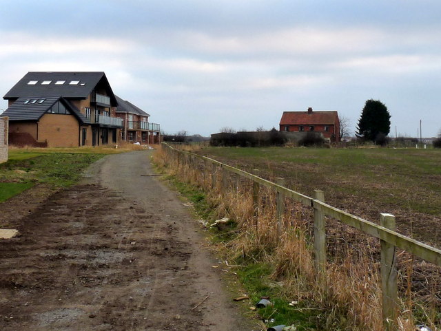
Image: © Graham Scarborough Taken: 29 Dec 2008
The red brick building is Barwick Farm Cottage and the modern buildings are premium builds on the westernmost edge of The Rings, Ingleby Barwick.
Images are licensed for reuse under creativecommons.org/licenses/by-sa/2.0
Image Location
Latitude
54.525467
Longitude
-1.331423