Junction of Beulah Hill and Grange Road
Introduction
The photograph on this page of Junction of Beulah Hill and Grange Road by Chris L L as part of the Geograph project.
The Geograph project started in 2005 with the aim of publishing, organising and preserving representative images for every square kilometre of Great Britain, Ireland and the Isle of Man.

There are currently over 7.5m images from over 14,400 individuals and you can help contribute to the project by visiting https://www.geograph.org.uk
Junction of Beulah Hill and Grange Road
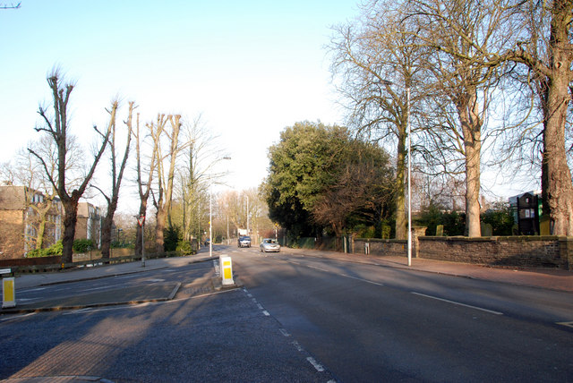
Image: © Chris L L Taken: 29 Dec 2008
Photographed on opposite side of road to All Saints Church. All Saints School playing fields on right hand side of image behind trees
Images are licensed for reuse under creativecommons.org/licenses/by-sa/2.0
Image Location
Latitude
51.412151
Longitude
-0.087816