Alvechurch Highway - Old Birmingham Road Junction
Introduction
The photograph on this page of Alvechurch Highway - Old Birmingham Road Junction by Roy Hughes as part of the Geograph project.
The Geograph project started in 2005 with the aim of publishing, organising and preserving representative images for every square kilometre of Great Britain, Ireland and the Isle of Man.

There are currently over 7.5m images from over 14,400 individuals and you can help contribute to the project by visiting https://www.geograph.org.uk
Alvechurch Highway - Old Birmingham Road Junction
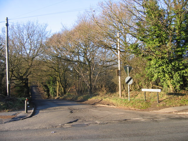
Image: © Roy Hughes Taken: 28 Dec 2008
Alvechurch Highway junction with Old Birmingham Road (B4096). This road leads to the entrance to the old Marlbrook Tip. The tip was originally a gravel pit and after the gravel ran out it was then used as a tip/landfill site. It was originally topped off in the early 1990s and left to return to nature. Later the site was bought and remedial work carried out, including repairing the culvert running alongside Marlbrook Lane. Plans have been approved to build a 9 hole golf course on the site. Work is currently on-going on this project.
Images are licensed for reuse under creativecommons.org/licenses/by-sa/2.0
Image Location
Latitude
52.370794
Longitude
-2.02184