Ironville - Jessops Monument
Introduction
The photograph on this page of Ironville - Jessops Monument by Dave Bevis as part of the Geograph project.
The Geograph project started in 2005 with the aim of publishing, organising and preserving representative images for every square kilometre of Great Britain, Ireland and the Isle of Man.

There are currently over 7.5m images from over 14,400 individuals and you can help contribute to the project by visiting https://www.geograph.org.uk
Ironville - Jessops Monument
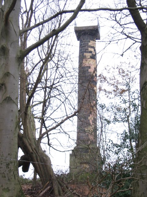
Image: © Dave Bevis Taken: 29 Dec 2008
Photo taken from Monument Lane, the closest the public can get to the monument. The piebald appearance of the stonework on the monument is due to recently-completed restoration work.
Images are licensed for reuse under creativecommons.org/licenses/by-sa/2.0
Image Location
Latitude
53.054694
Longitude
-1.356488