Allyington Way
Introduction
The photograph on this page of Allyington Way by Ian Capper as part of the Geograph project.
The Geograph project started in 2005 with the aim of publishing, organising and preserving representative images for every square kilometre of Great Britain, Ireland and the Isle of Man.

There are currently over 7.5m images from over 14,400 individuals and you can help contribute to the project by visiting https://www.geograph.org.uk
Allyington Way
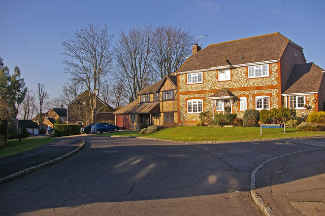
Image: © Ian Capper Taken: 27 Dec 2008
Part of the development of this area east of the Balcombe Road in the 1990s.
Images are licensed for reuse under creativecommons.org/licenses/by-sa/2.0
Image Location
Latitude
51.11033
Longitude
-0.144659