Maidenbower sign
Introduction
The photograph on this page of Maidenbower sign by Ian Capper as part of the Geograph project.
The Geograph project started in 2005 with the aim of publishing, organising and preserving representative images for every square kilometre of Great Britain, Ireland and the Isle of Man.

There are currently over 7.5m images from over 14,400 individuals and you can help contribute to the project by visiting https://www.geograph.org.uk
Maidenbower sign
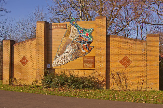
Image: © Ian Capper Taken: 27 Dec 2008
Mosaic sign representing the 1990s development of the Maidenbower district of Crawley, situated on the roundabout where Maidenbower Drive leaves Balcombe Road. It was installed in September 2006, having been created in five pieces, four of them by the four schools in the neighbourhood and the final piece by the community, as a piece of public art.
Images are licensed for reuse under creativecommons.org/licenses/by-sa/2.0
Image Location
Latitude
51.11212
Longitude
-0.147517