Farm road to Cwm
Introduction
The photograph on this page of Farm road to Cwm by Jonathan Wilkins as part of the Geograph project.
The Geograph project started in 2005 with the aim of publishing, organising and preserving representative images for every square kilometre of Great Britain, Ireland and the Isle of Man.

There are currently over 7.5m images from over 14,400 individuals and you can help contribute to the project by visiting https://www.geograph.org.uk
Farm road to Cwm
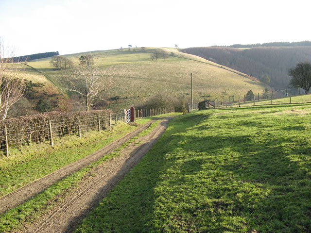
Image: © Jonathan Wilkins Taken: 26 Dec 2008
This farm track carries a footpath to the outlying farm at Cwm, where the forested slope can be seen in the right of the picture. The skyline is occupied by the Ceri Forest and Ridgeway path.
Images are licensed for reuse under creativecommons.org/licenses/by-sa/2.0
Image Location
Latitude
52.47782
Longitude
-3.23321